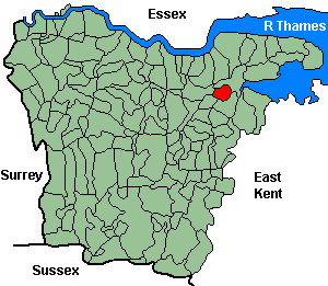
Strood
OS Grid Reference: TQ7269
The 1841 population was 2,881
The 1841 population was 2,881
Administrative Units
Strood fell within the Hundred of Shamwell. Its 19th century Registration District & Poor Law Union was North Atlesford 1835-84, Strood 1884-1930.
Probate Jurisdiction was Rochester.
See NWKFHS publications West Kent Sources and School Records for further information.
For project purposes this parish is covered by Kent FHS.
Church and Chapels (pre 1910)
Strood, St Nicholas
Church of England - Ancient Parish Church
Original Registers
These date from 1565.
Original Registers
These date from 1565.
St Nicholas - Jul 1998

Strood, St Mary, Vicarage Rd
Church built 1868-9; parish created 1896 from Strrod St Nicholas & Frindsbury
Original Registers
These date from 1869.
Original Registers
These date from 1869.
St Mary - Jun 2000

Independent/Congregational
- Independent: Zoar Chapel, high St. (1796). Original registers from 1791.
- Congregational: St mary's Rd. (1880). No information on registers.
Wesleyan/Methodist
- Wesleyan: Frindsbury Rd. (1887). No information on registers.
- Wesleyan: North St. (1859-1889 sold). No information on registers.