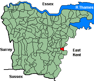
East Barming (Barming, East)
OS Grid Reference: TQ7254
The 1841 population was 584
"The village of Barming is two miles and a half W. by S. from Maidstone, seated upon the river Medway, over which is a stone bridge leading to East Farleigh. The soil in this neighbourhood is peculiarly adapted to the cultivation of hops, and much fruit is annually sent to the London markets. The church, dedicated to St Margaret, has a beautiful spire; the benefice is a rectory, in the presentation of the crown." Pigot's Directory, 1839.
Administrative Units
East Barming fell within the Hundred of Maidstone. Its 19th century Registration District & Poor Law Union was Maidstone.
Probate Jurisdiction was Rochester to 1845, PCC 1846-57.
East Barming also known as Barming. It was united with West Barming civil parish in 1934.
See NWKFHS publications West Kent Sources and School Records for further information.
For project purposes this parish is covered by Kent FHS.
Church and Chapels (pre 1910)
East Barming, St Margaret
Church of England - Ancient Parish Church
Original Registers
These date from 1541.
Original Registers
These date from 1541.
St Margaret - Mar 1998
